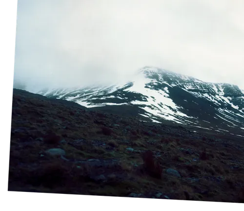
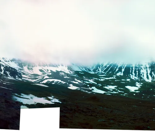
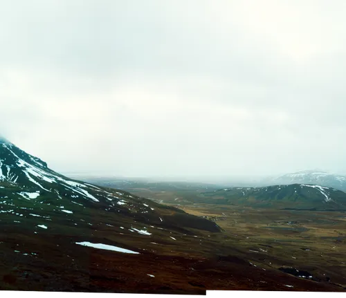
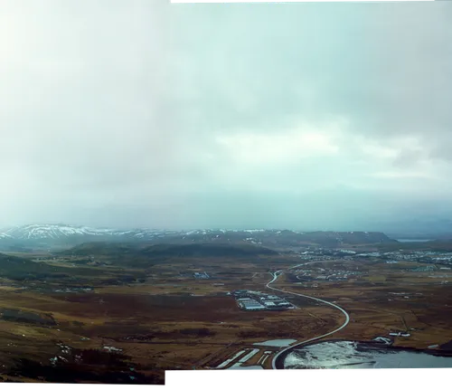
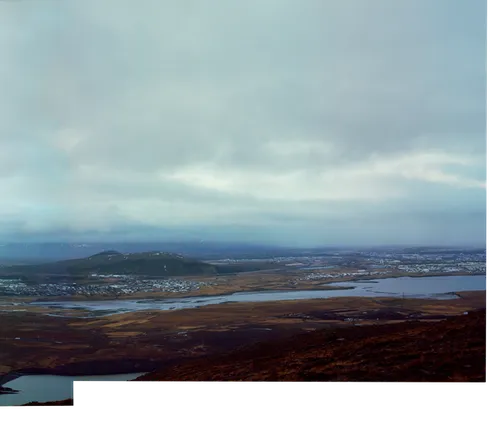
This project draws from the ancient idea of Ultima Thule, a place imagined at the limits of the known world. Iceland is one of the islands historically regarded as Thule. Iceland is approached here not as a frozen and static land, but as an active site of emergence, where geological, ecological, and social processes intersect. The images focus on lines—faults, fissures, flows, and infrastructures traced across the landscape, looking for instances where materiality reveals that it is a firstly an event. These images are the visual testimony of the world as an ongoing process.
Drawing on ideas of vital materialism, the work considers the land not as passive matter but as active, processual, and generative. Lava cools into rock, steam vents into the atmosphere, and occasionally new land emerges, as with Surtsey. These processes operate across vastly different timescales, yet remain perceptible—at times immediate—within human experience.
At the same time, human systems are embedded within and shaped by these forces. Geothermal infrastructures near sites such as Krafla Caldera channel subterranean heat, while urban and commercial spaces compress global networks into a small and sparsely populated environment. Iceland becomes a site where multiple systems—geological, political, economic—are intensified and made visible.
Rather than presenting landscape as static or sublime, this body of work frames it as ongoing: a series of processes unfolding. The photographs attend to moments where boundaries are drawn and undone, where stability gives way to transformation, and where the ground itself is not fixed, but continually in the act of becoming.
Þingvellir
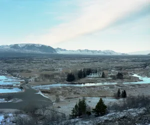
Iceland sits astride the Mid-Atlantic Ridge, where tectonic plates diverge and the earth adjusts its own surface. In places like Þingvellir, this separation is both geological and historical: a rift valley that also hosted one of the world’s earliest parliamentary assemblies. Division becomes a site for gathering.
Þingvellir is part of the same separate as Krafla to the north and Keflavík to the southwest.
Krafla
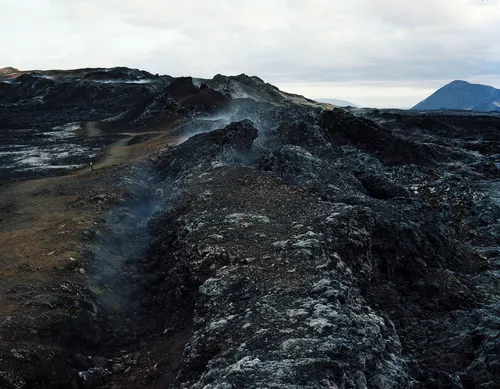
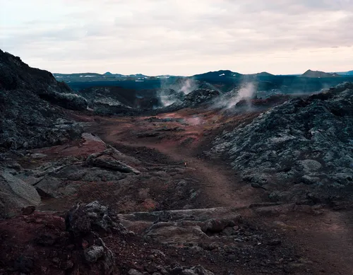
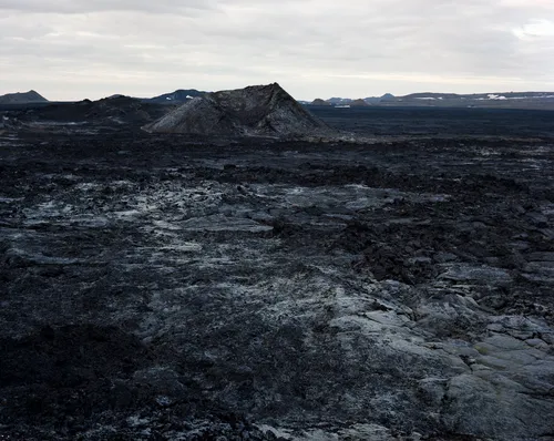
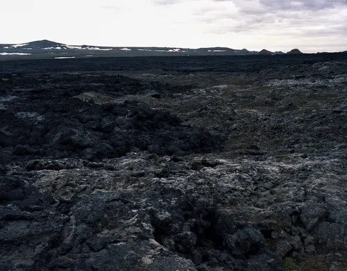
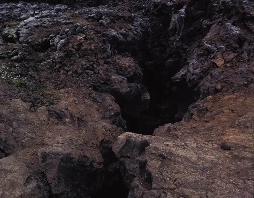
The photographs were made at Krafla in the summer of 2011, but the ground they stand on refuses the past tense. Northeast Iceland sits at the junction of the North American and Eurasian tectonic plates, two continental masses still pulling apart at roughly the rate fingernails grow — a process with no completion date, no final position toward which it tends. The last eruption was 1984, the fissure swarms opening and resealing over nearly a decade of volcanic unrest, and twenty-seven years later the earth beneath the surface was still warm. What looks like landscape is actually event: solidified mid-motion, temporarily legible.
The same ground carries a climate record stretching back twenty thousand years, archived in lake sediments and pollen stratigraphy. That record is punctuated by three cold intervals each named for Dryas octopetala — a low Arctic wildflower whose pollen, abundant during cold episodes and absent during warm ones, gave scientists a biological marker for reversals written into the earth. The transitions between these intervals are among the most violent climate shifts in the geological record: temperatures lurching several degrees within a human lifetime, the planet declining to hold any state for long.
In the final photograph, a close-up of the volcanic ground, a white Dryas flower is growing in the still-warm earth. The flower that names the cold is rooted in heat. The word and the thing, the deep past and the geologically present, the named and the naming — all of it unfinished, all of it in the middle of becoming something else.
Grímsey
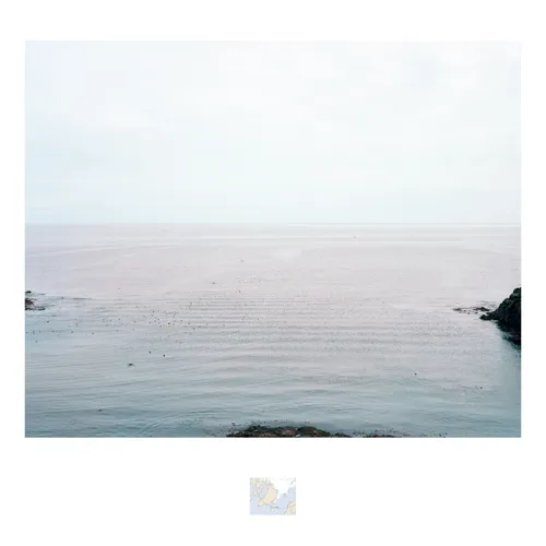
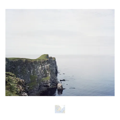
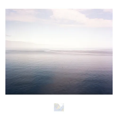
Grímsey is a small island off the northern coast of Iceland, and the only part of Iceland that intersects the Arctic Circle. The images were taken on that line. In Grímsey Facing West the left part of the seascape is south of the Arctic Circle, and the right part is north of the line, inside the Circle. Grímsey Facing East is opposite, and Grímsey Facing North all of the seascape shown is inside the line. In 2011, when the photographs were taken the latitude for the Arctic Circle was 66°33ʹ35″N. Due to oscillations of the Earth’s axis, it has since moved north roughly 48ʹ/15m per year. By 2047, no part of Grímsey will be inside the Arctic Circle.
24 hours around Stórhöfði
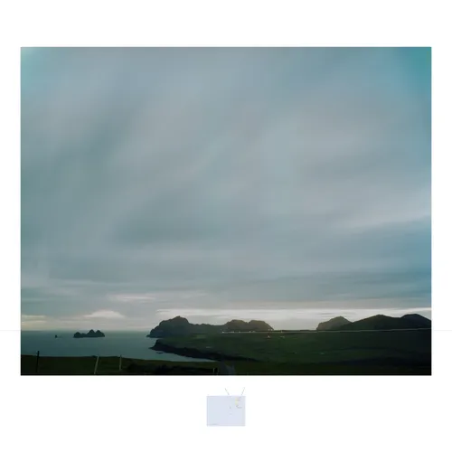
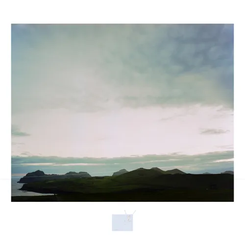
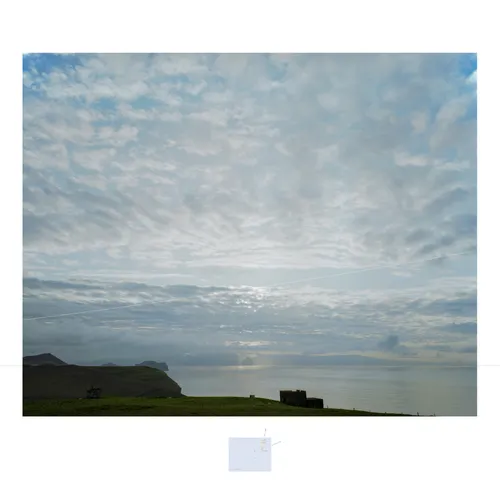
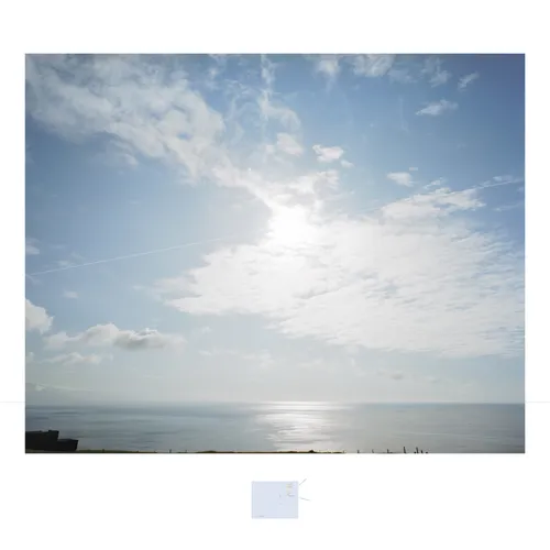
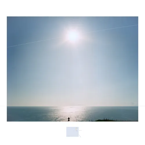
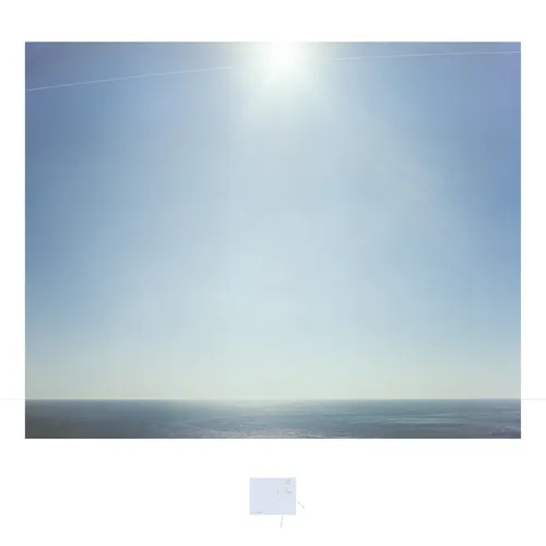
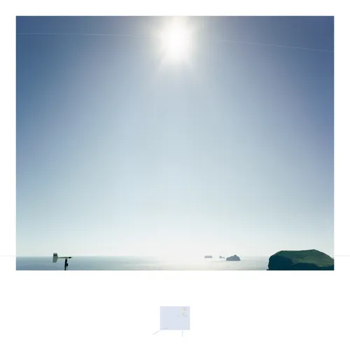
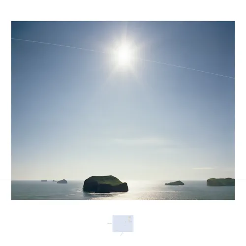
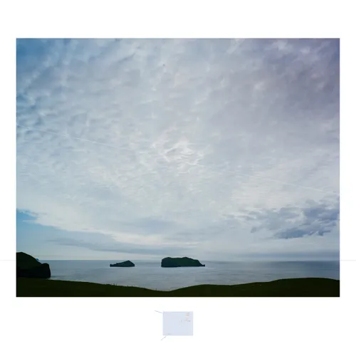
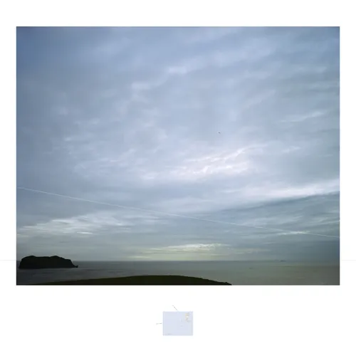
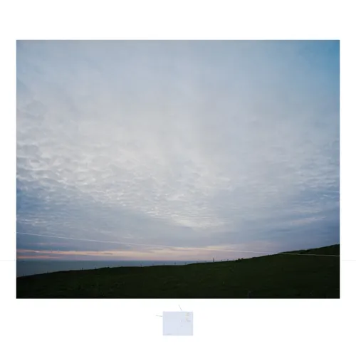
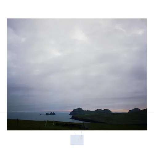
Stórhöfði is a peninsula at the southern tip of Heimaey, the principal island in the Westmann archipelago off the southern coast of Iceland. It houses a weather station which recorded the lower air pressure on land in Europe. During the height of summer, even there on the southern tip, it doesn’t go dark. The sun descends and glances off the horizon before making its way up again. In two hour intervals, The photographs follow the movement sun, as the earths, whilst I walked around the peninsula and weather station.
(Off the coast lies Surtsey, a new island that was created by the Mid-Atlantic Ridge in 1963).
Ultima Thule
The explorer Pytheas of Massalia first coined the term Thule in the 4th century BC to describe a distant land located beyond the borders of the known world, which he claimed to have visited, but others doubted. He was also the first to describe the midnight sun, arctic circle and sea ice. In more recent times, Ultima Thule has come to represent the farthest point of exploration and discovery.